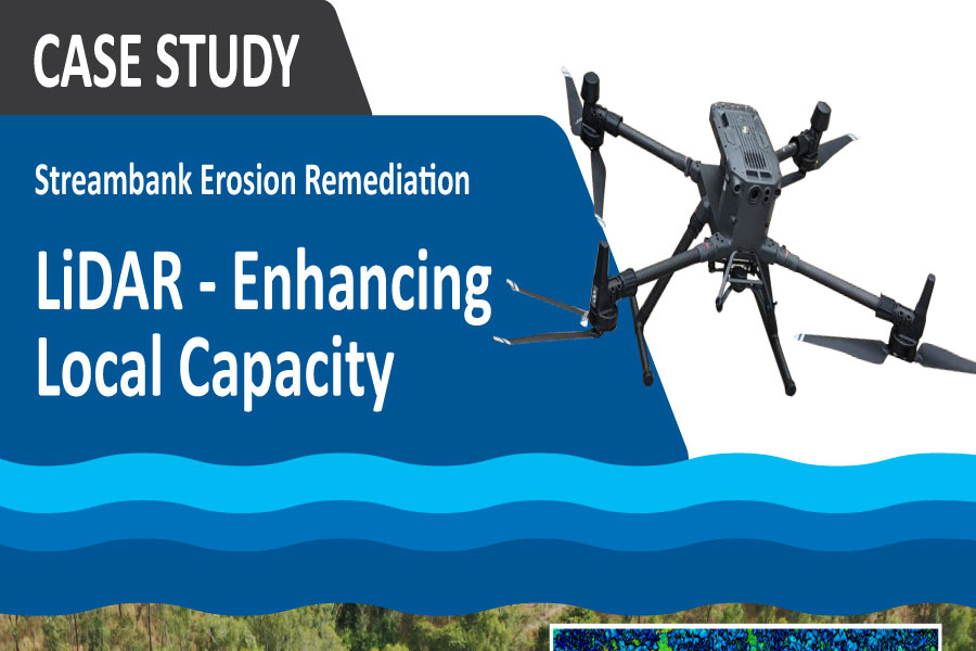
Reef Trust VII LiDAR – Enhancing Local Capacity
The program uses laser imaging, detection, and ranging (LiDAR) imagery as a key tool to identify high priority erosion hot-spots within the O’Connell Basin. Data collection in the forms of LiDAR imagery, Digital Elevation Models of Difference (DEMoD) and data interpretation allows accurate surveying of potential engineered works sites.

The Targeted support to maximise soil, biodiversity and vegetation outcomes in the O’Connell and Proserpine basins of the Mackay Whitsunday NRM region Project is funded by the Australian Government’s Reef Trust.


