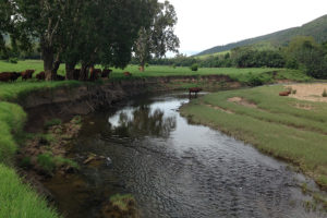
Reef Trust IV (RT4) is an Australian Government program which aims to reduce fine sediment entering the Great Barrier Reef (GBR) lagoon by developing long term and affordable methods for landholders to improve water quality and reduce sub-surface erosion from gullies and stream banks.
The RT4 program in the Mackay Whitsunday region is focusing on streambank erosion and aims to increase understanding of the natural process of our rivers and creeks and the role we all play in keeping them functioning properly. Three main catchments have been identified as contributing the most sediment.
- The O’Connell River
- St Helens Creek
- Murray Creek
The project has been running since 2017 and currently has 31 landholders involved across three catchments covering 78 km of stream bank.
Reef Trust IV Overview Case Study – November 2022
Landholders are undertaking a wide variety of works from stock management, engineered works, revegetation and weed control.
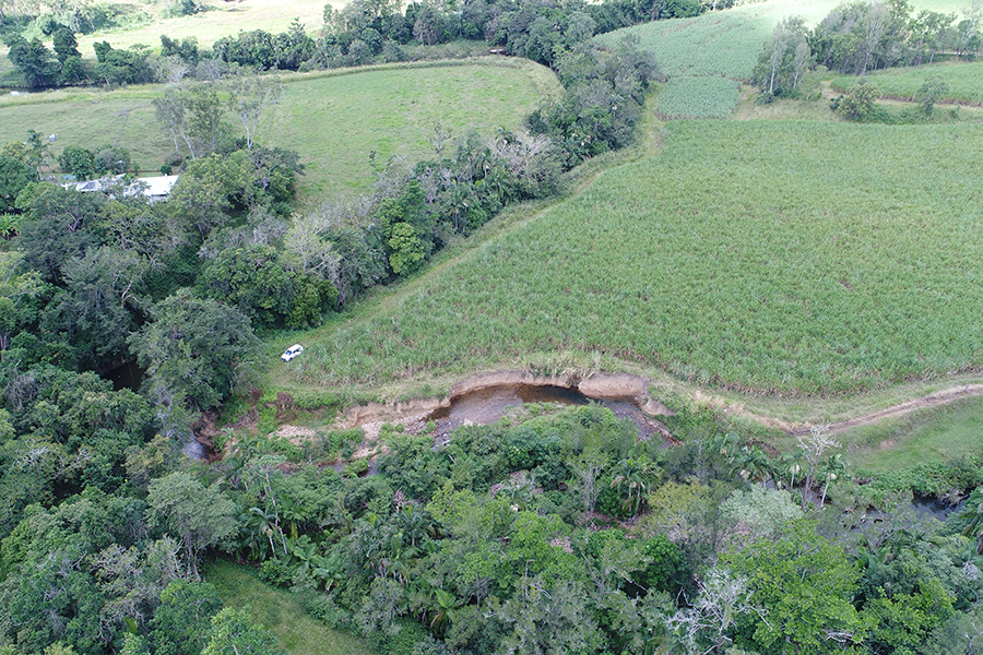
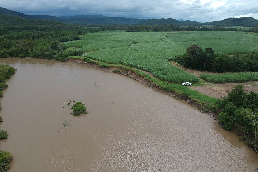
It is calculated that there has been approximately 2.9M m3 lost from stream bank erosion over nine years along 82kms of river in the O’Connell River/St Helens and Murray creeks. While stream bank erosion is a natural process, the project seeks to reduce erosion rates back towards pre-development rates.
Reef Catchments and the adjoining landholders have been using various methods to work toward this goal.
The three catchments were chosen based on the high amount of sediment they contribute to the GBR lagoon. Reef Catchments has worked with several different environmental engineering specialists to identify where the erosion sites are, what areas are more prone to erosion and pinpoint what is causing the erosion.
This has involved research using aerial maps, both historical and recent. Flood data has been collected from sampling stations within the catchments. Analysis of soil samples has been carried out to identify where the soils originate and the proportion of fine sediment within the soils. Fine sediments (less than 20 microns) are able to be transported much further out to the Reef and are the focus of the project. Reef Catchments has also had LiDar surveys flown over the project catchments. LiDar is a laser scan of the landscape to produce a digital terrain model and get an idea of where the gullies and low points are to show how water moves across the landscape and where erosion points are. Lidar is equally effective at measuring bank retreat to quantify streambank erosion and volume.
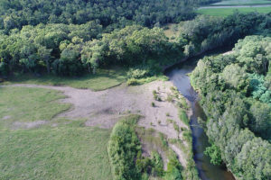
One of the most valuable visual tools used is historical aerial maps. Old digitised aerial photos of the site are identified and then overlayed with the most recent maps. The location of the bank is marked for each year and compared to give an idea of how much the stream and bank has moved over that period. A great example is a site where there has been over 50m of bank lost across a 300m length between 2009 and 2018. This is a large area of productive land the landholder has lost over a nine-year period.
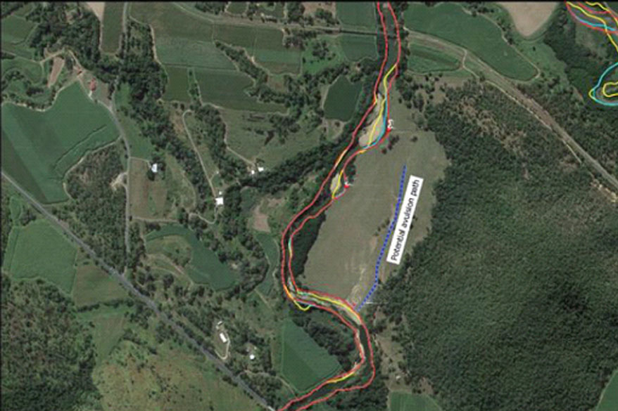

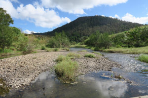
One of the main issues identified is, in the past our creeks and rivers have been straightened and gravel and rock bars (islands built-up of gravel/rock in the middle of the waterway) were moved to the sides. The belief was that keeping the stream in the middle reduces erosion and gets the water away a lot faster during times of flooding. This increases the speed of the water and has been found to cause more erosion particularly in areas with poor deep-rooted native vegetation cover. Usually the waterway makes its way back to the original flow path.
Reef Catchments is implementing current methods of erosion control that have been used successfully elsewhere. The main aim of the works carried out is restoring or reproducing the natural state of the creek to slow the velocity which reduces the erosive energy of the water.
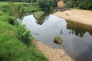
Pools, riffles, mid-stream bars, bends and vegetation all help to slow the water down. They add roughness to the stream, the more often the water hits a barrier such as rock, vegetation, or a bend, it takes away some of the available energy and lessens the chance of severe erosion events. This also creates eddies and drops out rocks and large sediments and creates deep holes essential for aquatic habitat. Imagine a marble travelling down a straight channel, it picks up speed and bounces around out of control. If you put a series of bends and small barriers in its way it slows down and its less likely to get out of control and stays within the channel. This is the same with creeks and rivers in flood events.
Slowing the water down…
Slowing the water down allows some of the soil being carried in the water to drop out. If you think of how in the upper reaches of the creek you find rocks which are carried by fast moving water, these fall out as the water slows with the slope of the land, as the water has lost the energy to carry it. As you get to the lower reaches of the creek it can only carry the finer soils. It is these fine soils/sediments that are carried out into the GBR lagoon. This causes water quality issues increasing turbidity.
Revegetation of riparian areas
Native vegetation along the banks with a variety of plants such as ground cover, shrubs and trees are our first and best defence against erosion. They protect and hold the banks with structurally diverse root system and help to maintain good water temperature. They also provide habitat for many aquatic species and wildlife corridors to larger areas of bushland such as national parks.
The work Reef Catchments is undertaking through the RT4 program varies depending on the extent of the erosion, and how the project objectives meet the landholders’ needs and goals for their property. Once the area has been identified, we contact landholders to discuss the overall project with them and see if they are interested in any works. Most landholders are happy to work to reduce the erosion on their properties but lack the time and resources to be able to achieve this.
Works carried out vary on what the landholder wants, the quality of the native vegetation on the creek/river, extent of erosion and potential for further erosion.
Managing stock
Controlling stock access to the waterways is a good, cost effective method of reducing erosion. Stock walking up and down banks to water in creeks creates a stock pad that they use all the time. This creates a channel with no grass cover towards which overland flow will naturally gravitate. The water picks up the soil and transfers it to the creek. Over years of use, these will get deeper and deeper and become what is known as a nick point. These often end up developing into head cuts (starting point for an erosion gully) that can travel into the paddock and get longer, wider and deeper. They are difficult to control once they have started.
The best way to prevent this is to fence off creek banks and install water points for the cattle to drink out of. This has many benefits for the farmer as well as the waterway, such as improved stock management, easier mustering, better stock health from drinking water quality and less stock loss through either drowning during floods or getting out. Through this project we have installed 8.8 km of creek bank fencing to date with more planned.
Weed management
In some cases, properties have limited erosion and engagement in Reef Trust IV allows preventative works such as weed control to improve natural regeneration of riparian vegetation along the waterway. One of the big problems throughout this region is elephant grass and lantana. Historically elephant grass has been recommended as good riparian vegetation as it lays over during floods and captures sediment. However, it has a shallow root system and quite often hides serious erosion problems. Often during a flood, you will see big islands of grass floating down a river. This is usually elephant or similar types of grasses that have collapsed from the bank. This leaves a large exposed area of bank that is vulnerable to further erosion. Lantana is also a common problem; it prevents anything from growing under it and therefore has bare soil that is prone to erosion. Controlling these weeds gives the native seed banks a chance to germinate and grow.
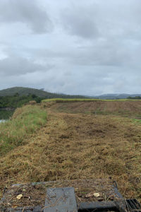
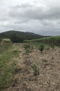
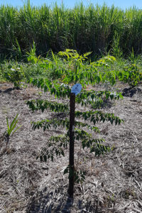
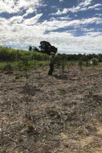
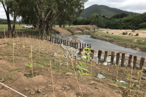
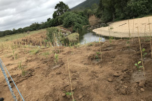
Many of our local waterways have lost large stretches of native vegetation. These areas are identified using aerial photography and landholder knowledge. The aim of a revegetation program is to pick an area that can join to existing vegetation. Outside bends that have no vegetation structure are also prioritised as they are the areas prone to erosion through meander migration. Once these areas are identified, we work with landholders to improve structure and connectivity through revegetation programs. Planting a variety of native species to enhance vegetation structure includes deep rooted trees to hold banks, shrubs, and ground cover with matted root systems to protect subsoil.
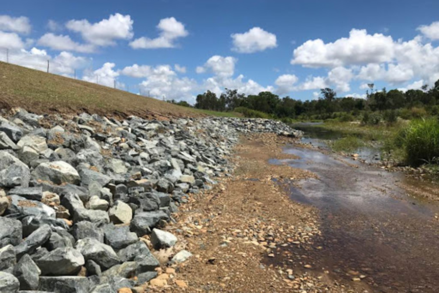
Engineered works to control erosion are often a last resort and are used where extensive erosion has occurred and is causing or will cause considerable damage to productive farmland or infrastructure. These methods are often quite expensive and labour intensive.
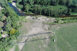
One type of engineered structure which acts to slow the water down along the bank are pile fields or pin groynes. These are a series of logs placed strategically along an eroding bank to emulate tree trunks. When the water hits them, it slows and eddies, dropping sediment out and reduces the impact on the bank. The logs will eventually rot and will be replaced with the vegetation that is planted in and around the logs.
