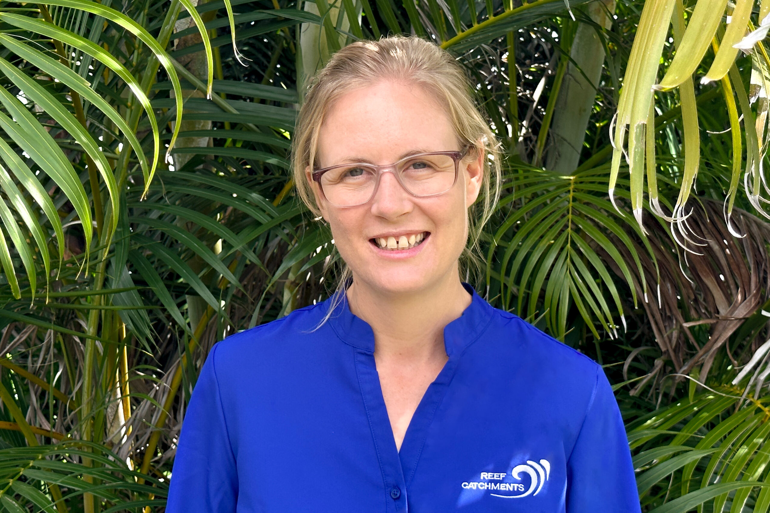
As a GIS officer, Rochelle is responsible for assisting all Reef Catchments officers with GIS analysis, reporting and deliverables for their projects.
Rochelle has a BA (Hons) in International Relations and Strategic Studies, and 6 years GIS experience, working first in the Defence sector of Federal Government as a GIS analyst, then with Reef Catchments. Rochelle is very capable with the ESRI ArcGIS systems and has experience with a range of remote sensing and GIS platforms.
